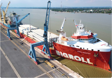
Saigon Gateway Port Joint Stock Company, formerly Saigon-Hiep Phuoc Port Joint Stock Company, is a subsidiary of Saigon Port Joint Stock Company, established in 2005, and belongs to the group of seaports No. 5 approved by the Prime Minister.
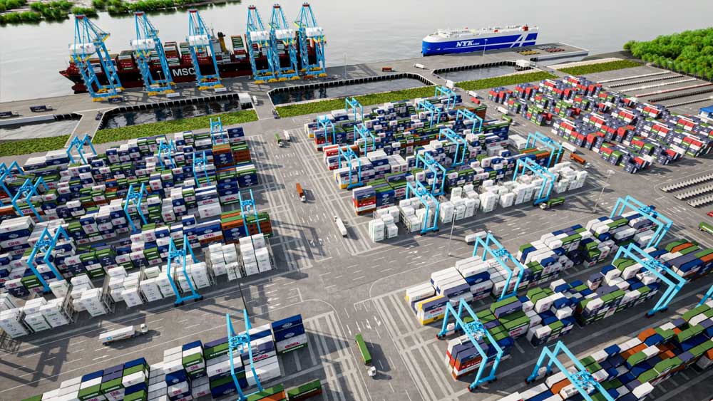
With a focus on building a green port model for container handling, Saigon Gateway Port is committed to ensuring that container shipments for import/export between ICDs and Saigon Gateway Port do not incur additional waiting times for vessels to dock or depart, along with a variety of policies and services.
Geographical location:
– Located on Soai Rap river channel: the widest and shortest shipping channel from the East Sea to the port system of Ho Chi Minh City compared to Long Tau channel; no restrictions: ship length, night sailing. Distance from buoy 0 – SGHP: 41 nautical miles (Soai Rap channel)
– Near large industrial parks: Hiep Phuoc Industrial Park, Long Hau Industrial Park, Southern Industrial Park cluster of Ho Chi Minh City (Tan Tao, Phong Phu, Le Minh Xuan...), Industrial Park cluster of Long An province (Vinh Loc 2, Thuan Dao...)
Transport connections:
– Road: adjacent to Ring Road 3 connecting Ben Luc – Long An and Long Thanh – Dau Giay expressways
– Waterway: the intersection between the southern region of Ho Chi Minh City and the East Sea, conveniently connected to Cai Mep port cluster and ports in the Mekong Delta region.
System connection:
– Operation management software: TOS, ePort, eDo,… synchronized connection with ports in the shipping line system and state management agencies.
– Agents/Shipping lines operating under contracts with Saigon Gateway Port have flexibility in arranging berths, cargo storage, and transportation between Saigon Gateway Port and affiliated ICDs.
Saigon Gateway Port always prioritizes environmental protection, sustainable development, and close cooperation with partners to meet all customer needs in the global supply chain. With a long-term vision, we wish to contribute to promoting prosperity for the port industry, developing international trade and enhancing Vietnam's position on the world maritime map.
We are committed to making a positive contribution to the sustainable development of Vietnam's maritime industry by providing modern, high-quality port and logistics services. With a focus on optimizing the supply chain, Saigon Gateway Port continuously improves its technology, enhances its operational capacity, and ensures safe and efficient operations.